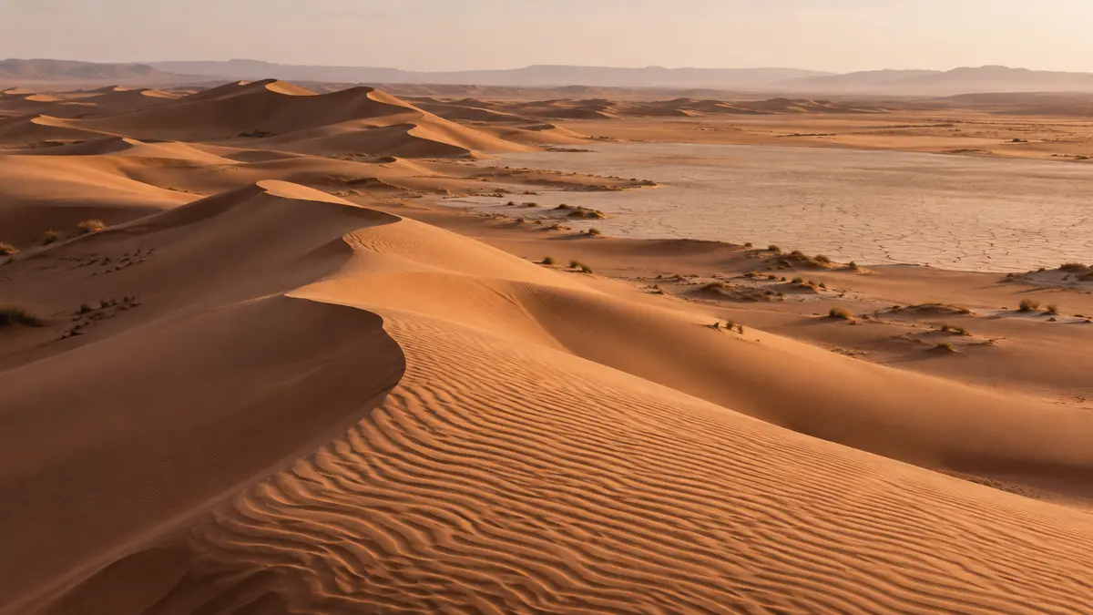
How to get to Erg Chigaga
The two gateway towns, the 4×4 and camel routes, and what self-driving really involves.
We have not yet published a verified route map, and we would rather not show you one we cannot stand behind. Instead, this page explains the geography in words, how routes into the dunes vary, why online maps mislead off-road, and how to prepare before you lose signal.
A map of a desert route is only useful if it is right. Ours will show the actual tracks we use from Foum Zguid across Lac Iriki and from M’Hamid, recorded on the ground and checked. Until that is done, we prefer to describe the geography honestly in words. A verified route map will be published on this page when it is ready.
Picture southern Morocco from the north. The High Atlas runs across the country, with Marrakech on its northern side. South of the mountains lies Ouarzazate, the largest town in the region and the usual crossroads for the desert.
From Ouarzazate two roads head towards the dunes:
Erg Chigaga lies in open desert between and beyond these two towns, out to the west of M’Hamid and to the east of Foum Zguid, close to the Algerian border. Between Foum Zguid and the dunes lies Lac Iriki, a usually dry lake bed inside Iriki National Park. The eastern approach from M’Hamid does not cross the lake and runs through sandier country instead.
The border itself is closed. Stay on the routes your driver or guide uses and never head towards it on your own.
There is no single road to Erg Chigaga. The route is a network of tracks across stony plain, dry river beds, soft sand and, in the west, the lake bed. Experienced drivers choose a line on the day, depending on:
Two trips on the same day may follow different tracks, and the same trip may take a different line on the way out and the way back. That is normal, not a detour.
Online maps and many websites show the dunes as a pin with a straight line or a suggested route from the nearest town. Both are misleading off-road.
This is why we do not quote fixed driving times or publish coordinates to navigate by. Our distance guide explains in more detail what affects travel time.
Phone signal fades once you leave the tarmac and is patchy or absent across much of the route and in the dunes. Prepare before you go.
Offline maps are good for following the big picture: seeing where you are relative to Foum Zguid, M’Hamid or Lac Iriki. They are not a safe way to navigate off-road. Leave that to your driver or guide.
Self-driving to Erg Chigaga needs serious off-road experience, recovery equipment and reliable navigation, and a phone map is not enough. Our self-drive guide explains what it involves and why we recommend travelling with a local driver, at least the first time.
Until the map is published, we describe your route in your itinerary: where you meet your driver, which gateway you leave from, and the kind of ground you will cross. For the western route see trips from Foum Zguid and the Lac Iriki guide; for the eastern route see trips from M’Hamid. Our 4×4 tours show how we usually plan the crossing, and the guide to getting to Erg Chigaga covers every access option.
The two gateway towns, the 4×4 and camel routes, and what self-driving really involves.
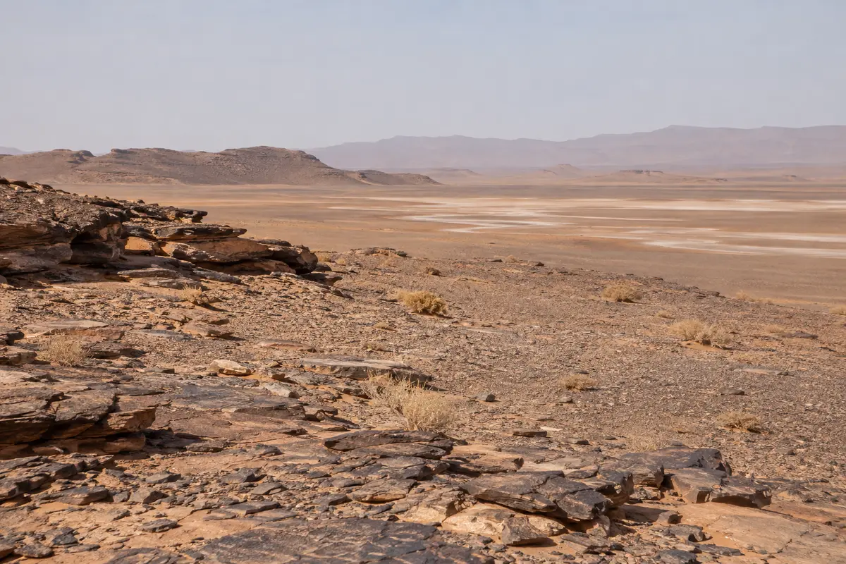
The western approach on tarmac to Foum Zguid, then off-road across Lac Iriki to the dunes.
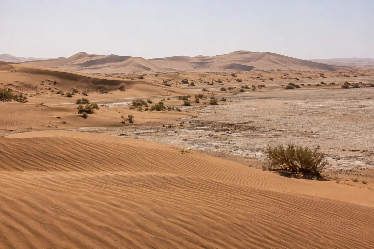
The eastern approach from M’Hamid, where the Drâa valley road ends, and a natural start for camel treks.
Why the road to Erg Chigaga ends in a 4x4, what a private off-road trip with a local driver involves, and the extras you can ask us to add.
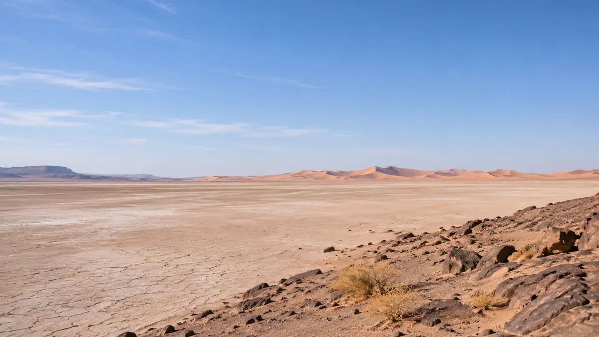
A huge, usually dry lake bed in Iriki National Park, crossed by 4×4 on the way to the dunes.
Send your dates and group size. We reply with a written itinerary and price — no payment needed to ask.