Tours from Foum Zguid
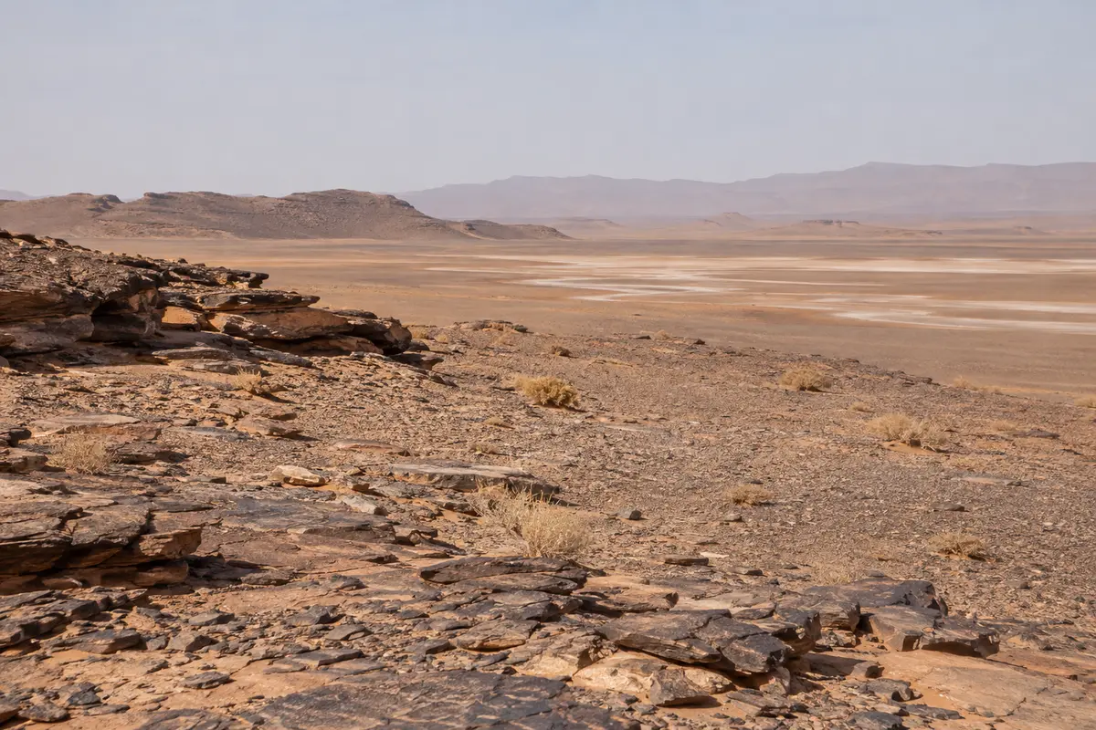
The western approach on tarmac to Foum Zguid, then off-road across Lac Iriki to the dunes.
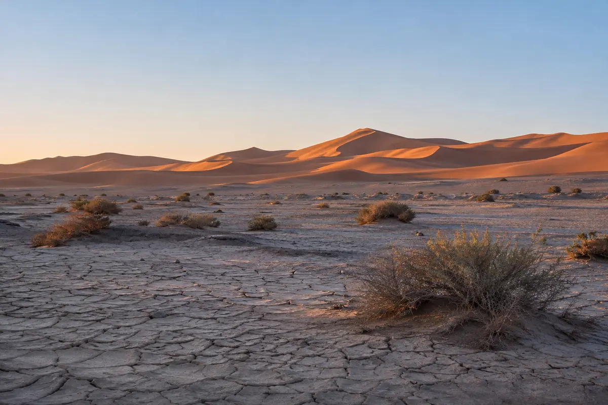
How far is Erg Chigaga? On the map, not very far from the end of the tarmac. In practice, the off-road crossing takes a good part of a day. This guide explains why distance is a poor guide to travel time in the desert, and what decides how long your journey takes.
When people ask how far Erg Chigaga is, they usually mean how long it takes to get there. On tarmac, the two are closely linked. In the desert, they are not.
The off-road stretch from Foum Zguid or M’Hamid to the dunes looks modest on a map. In practice, it takes a good part of a day in each direction, and the time can vary noticeably from one trip to the next. A distance table based on verified routing, recorded on the ground rather than measured in a straight line, will be added to this page. Until then we describe the journey in terms of what affects it, and confirm a realistic timetable in your itinerary.
Days are short in winter, so the crossing is planned to reach camp in daylight. In summer, the timetable is shaped around the heat. In spring, wind is the main variable.
How often you want to stop, whether anyone suffers from motion sickness, and whether you are travelling with children or older travellers all change the pace. On a private trip the pace is set around you, which may mean a longer but more comfortable journey.
Drivers choose a line on the day depending on all of the above. The way out may differ from the way back.
| Foum Zguid (west) | M’Hamid (east) | |
|---|---|---|
| Off-road terrain | Stony desert, then the dry bed of Lac Iriki | Sandy stretches, scrub, river beds and smaller dunes |
| What tends to slow it | Rocky sections; the lake bed after rare rain | Soft sand along the way |
| What tends to help | Hard, flat ground across much of the lake bed | Reaching dune country sooner |
| Best reached from | Ouarzazate via Taznakht; Agadir, Tata and the south-west | Ouarzazate and Zagora, down the Drâa valley |
| More detail | Trips from Foum Zguid | Trips from M’Hamid |
Neither side is faster in every case. What usually decides it is where you are the night before. Our Foum Zguid vs M’Hamid comparison goes into the trade-offs.
Before the off-road crossing begins, you need to reach Foum Zguid or M’Hamid on paved roads. These distances are also longer in time than they look.
Checkpoints, villages, roadworks and photo stops all add time. Many travellers break the journey with a night near the gateway, which also means starting the desert crossing fresh.
Online maps will happily show a straight line or a suggested route to the dunes, and neither reflects how the journey actually works. Our map guide explains the geography in words and how to prepare offline maps, and the guide to getting to Erg Chigaga covers every access option.
The western approach on tarmac to Foum Zguid, then off-road across Lac Iriki to the dunes.
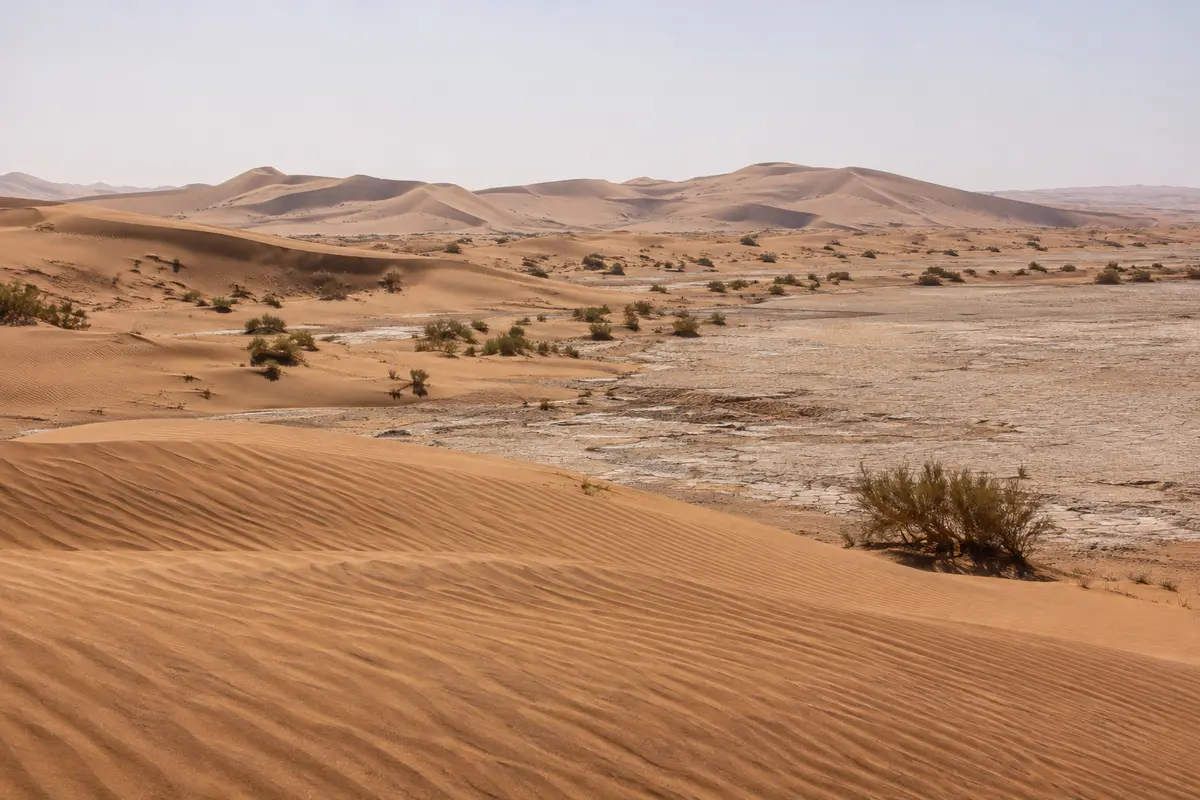
The eastern approach from M’Hamid, where the Drâa valley road ends, and a natural start for camel treks.
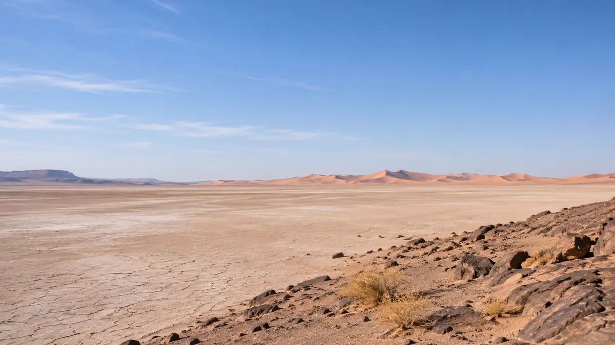
The western route via Lac Iriki or the eastern route from the Drâa valley? How the two gateways compare.
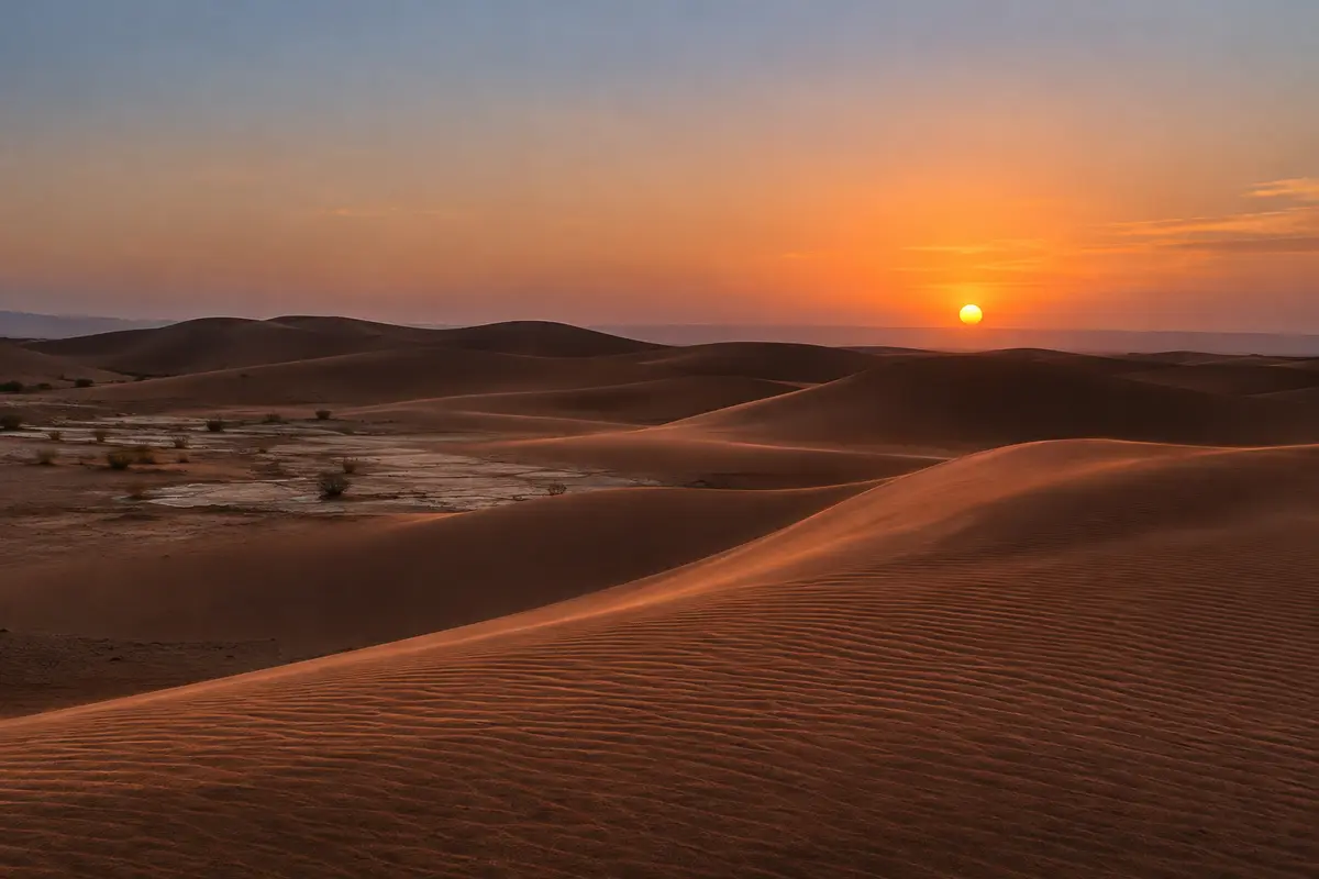
One night at a desert camp, with Lac Iriki on the way in and sunset on the dunes.
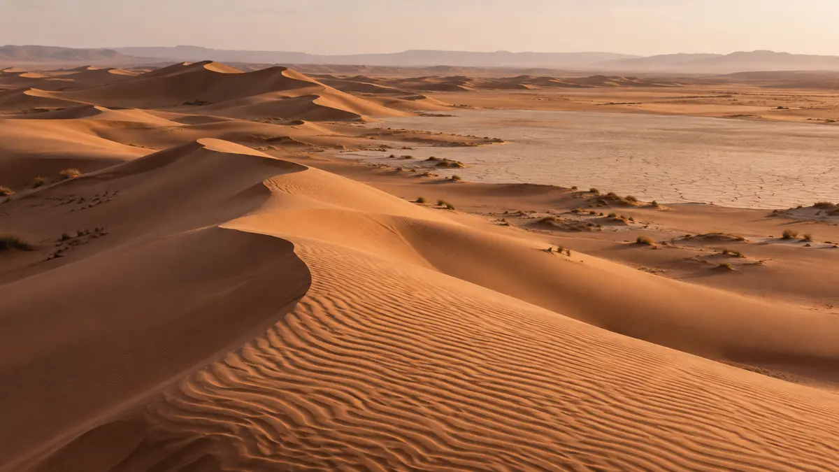
Where the dunes lie, how routes in vary, why online maps mislead off-road, and how to prepare offline maps.
Send your dates and group size. We reply with a written itinerary and price — no payment needed to ask.