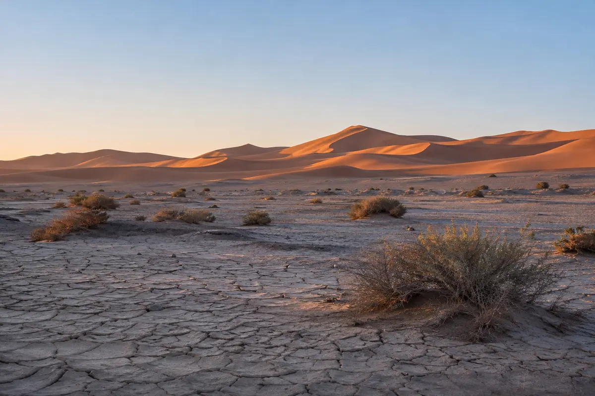
Erg Chigaga 5 days
Four nights of slow desert time by private 4×4, with room to add dune days, change camp or start from further away.
Private trip 4×4 Price on request
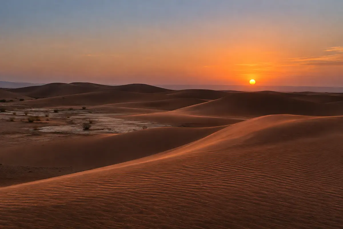
Agadir is on the Atlantic coast and Erg Chigaga is deep in the south-east, so the journey is a long inland transfer before any desert begins. Done in stages, with a night or two on the way, it becomes a road trip across the Souss valley and the Anti-Atlas. Done in a rush, it is mostly hours in a car.
Agadir faces the Atlantic. Erg Chigaga lies in the far south-east of the country, close to the Algerian border, and between the two run the fertile Souss valley and the dry ranges of the Anti-Atlas. The whole road journey to the gateway town of Foum Zguid is on tarmac, but it is long, and it is followed by an off-road crossing to the dunes.
That is why we only plan Erg Chigaga from Agadir as a multi-day trip. Trying to compress it into one or two days means you see the desert briefly, at the wrong time of day, between two exhausting drives.
The most common route runs east from Agadir up the Souss valley, through argan country and farmland, to Taroudant, an old walled market town. Beyond Taroudant the N10 climbs gradually into the hills around Taliouine, an area known for saffron, and continues to Taznakht. At Taznakht the road to Foum Zguid branches south and descends towards Foum Zguid and the edge of the desert.
This line has more towns along it, which makes it easier to find a good place to stop for lunch or the night.
The alternative heads south-east through the Anti-Atlas towards Tata, then east along the N12 to Foum Zguid. It is a quieter and more remote road, with longer gaps between towns and services. Some travellers like it for exactly that reason. Whether it suits your trip depends on your dates, road conditions and where you would like to sleep, and we tell you honestly which line we suggest.
A night on the way inland changes the trip. Ideas we often discuss, depending on your timetable:
These are ideas, not fixed stops. Where you sleep is confirmed in your itinerary.
From Foum Zguid the paved road ends and the western route runs off-road across stony desert and the dry bed of Lac Iriki before the sand of Erg Chigaga begins. This part is done by 4×4 with a driver who knows the tracks. Tours from Foum Zguid describes the crossing in detail.
An outline of a five-day trip, to give a sense of the rhythm rather than a timetable:
With four days the shape tightens, usually by dropping one night on the road. The trip listed below can start from Agadir on request, and its real outline is confirmed in your quote.
A verified map of the roads from Agadir and the desert tracks beyond Foum Zguid will be added once the route has been recorded. We do not publish straight-line maps; the road inland winds through hills, and the desert tracks change with conditions.
Send us your dates, the number of travellers, where you are staying or arriving in Agadir and where you would like to finish. We reply with a written itinerary covering the road, the overnight stops and the desert crossing, together with a price for your group. Contact us to start.
Four nights of slow desert time by private 4×4, with room to add dune days, change camp or start from further away.
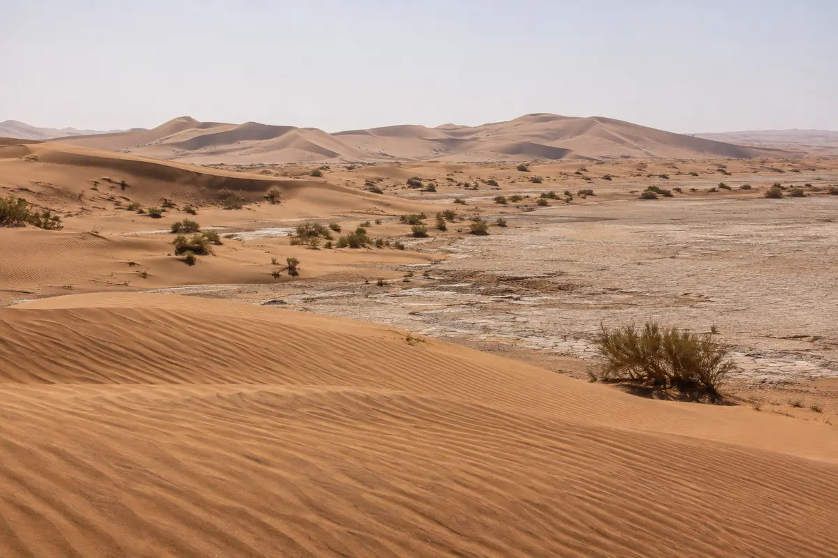
A walled Souss valley town that makes a calm starting point for the long drive east to Foum Zguid and the dunes.
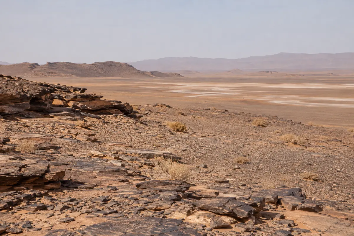
The western approach on tarmac to Foum Zguid, then off-road across Lac Iriki to the dunes.
The junction town on the paved road south to Foum Zguid, and a practical overnight stop before the desert crossing.
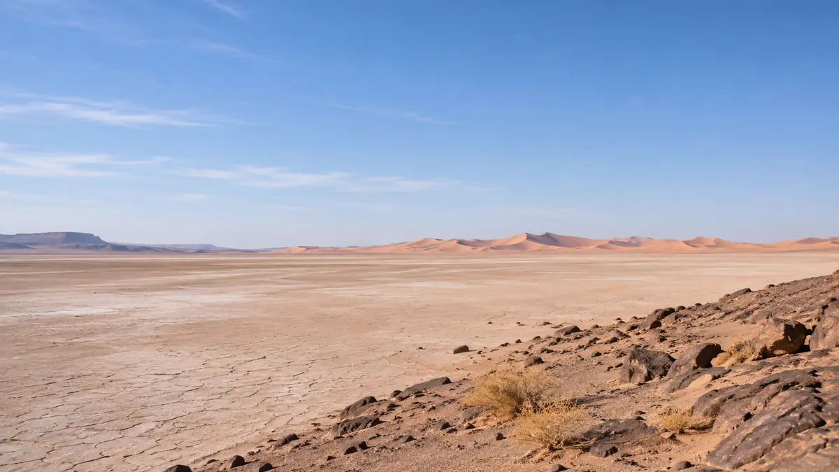
A huge, usually dry lake bed in Iriki National Park, crossed by 4×4 on the way to the dunes.
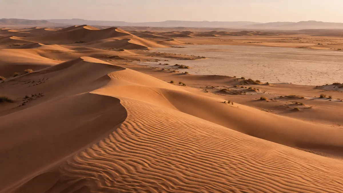
The two gateway towns, the 4×4 and camel routes, and what self-driving really involves.
Send your dates and group size. We reply with a written itinerary and price — no payment needed to ask.