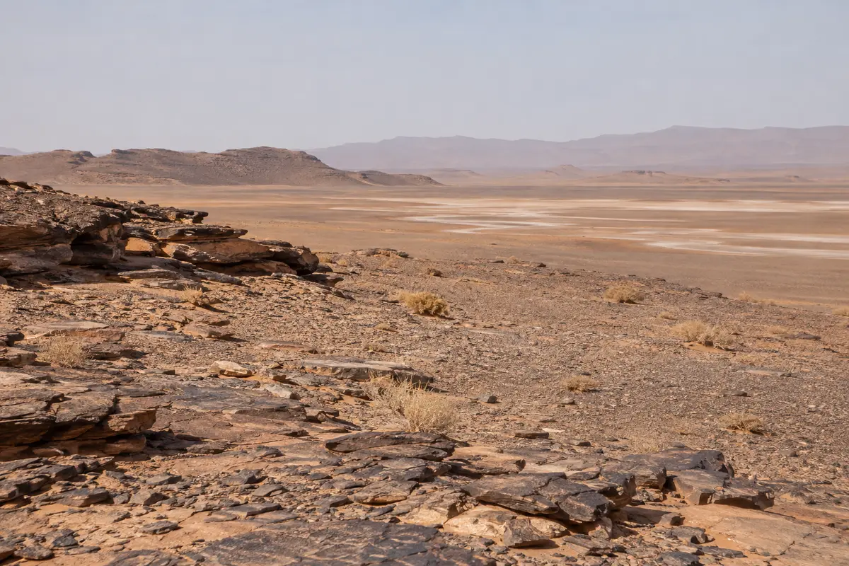
Tours from Foum Zguid
The western approach on tarmac to Foum Zguid, then off-road across Lac Iriki to the dunes.
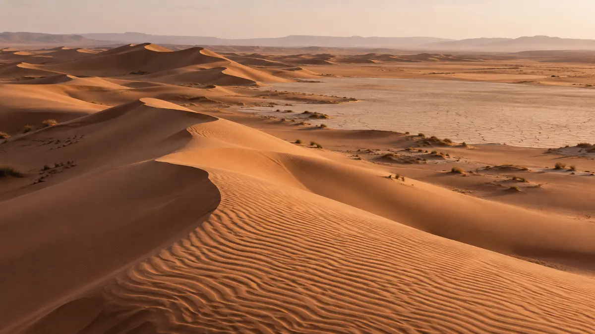
There is no paved road to Erg Chigaga. The dunes are reached by 4×4 from Foum Zguid in the west or M’Hamid in the east, or on foot alongside camels. This guide explains each option, the realities of driving yourself, and how to reach the gateway towns.
Erg Chigaga lies in open desert well beyond the last stretch of tarmac. Between the dunes and the nearest paved road there is a mix of stony plain, dry river beds, patches of soft sand and, on the western approach, the flat bed of Lac Iriki inside Iriki National Park. There is no village at the foot of the dunes for a road to serve, and wind-blown sand would quickly cover one.
The route is really a network of tracks that shift with wind and the occasional rain. Experienced drivers choose their line on the day according to conditions. That is why the journey takes the time it does, and why we confirm a realistic timetable for your dates instead of promising a fixed number of hours.
| From Foum Zguid (west) | From M’Hamid (east) | |
|---|---|---|
| Gateway town | Small town on the N12 road in Tata province | M’Hamid El Ghizlane, at the end of the paved road south of Zagora |
| Reached on tarmac from | Ouarzazate via Taznakht, or from Tata and the south-west | Ouarzazate and Zagora, down the Drâa valley |
| On the way in | Stony desert and the dry bed of Lac Iriki | Varied desert terrain, commonly described as sandier in places |
| Usually suits | Travellers coming from Marrakech, Ouarzazate, Agadir or Tata | Travellers already in the Drâa valley or staying in Zagora |
| More detail | Trips from Foum Zguid | Trips from M’Hamid |
From Foum Zguid the track leaves the tarmac and crosses stony desert before reaching Lac Iriki, a vast lake bed that is dry for most of the year. Its hard, flat surface is one of the most distinctive parts of the journey, and the dunes rise slowly on the horizon as you cross. After rain, which is rare, parts of the lake bed can turn soft or muddy, and your driver may take a different line or adjust the timing.
This western approach is the one we specialise in. It suits travellers arriving along the N12, and it makes the crossing itself part of the trip rather than a transfer. Read more about the lake in our Lac Iriki guide, or see the 2-day trip from Foum Zguid.
M’Hamid El Ghizlane sits where the paved road down the Drâa valley ends. From there the track heads west towards the dunes. For travellers already exploring the Drâa valley or staying around Zagora, it is often the more convenient approach, and we will say so if it fits your plans better than Foum Zguid.
Because there are two gateways, you do not have to return the way you came. Entering from M’Hamid and leaving via Lac Iriki to Foum Zguid, or the reverse, links the Drâa valley with the south-west and turns the desert into part of a longer journey through Morocco. Vehicle logistics make this more complex than a return trip, so whether it suits your dates is confirmed in your quote.
The slowest way in is also the most traditional. On a camel-supported trek you walk with a guide while camels carry the luggage and supplies, and you sleep at simple bivouacs along the way. Treks take several days, and the start point depends on the route. You need reasonable fitness for walking on sand and stony ground, but no technical skill. See camel trekking for how these trips work.
All of the approaches below use paved roads. Distances in southern Morocco are long and mountain roads are slow, so many travellers break the journey with a night on the way.
The road crosses the High Atlas by the Tizi n’Tichka pass towards Ouarzazate. From there you either continue south-west via Taznakht to Foum Zguid, or south-east down the Drâa valley through Zagora to M’Hamid. It is a full day of driving with winding mountain sections, which is why we rarely suggest trips shorter than three days from Marrakech. See trips from Marrakech.
Ouarzazate is the closest large town to both gateways and a natural place to start. It has a small airport with limited connections. From here, Foum Zguid is reached via Taznakht and M’Hamid via Zagora and the Drâa valley.
Zagora lies on the road down to M’Hamid, so M’Hamid is the obvious gateway from there. If you would rather approach through Lac Iriki, ask us and we will suggest the most sensible road for your dates.
Paved roads run inland from Agadir through the Souss valley and the Anti-Atlas towards Taznakht or Tata, and on to Foum Zguid. It is a long day, and a night on the way often makes the trip more comfortable.
We are often asked whether it is possible to drive to Erg Chigaga yourself. It is possible for some people, but it is not a casual undertaking, and nothing on this page should be read as a route guide or a guarantee of conditions.
Our honest recommendation is to travel with a local driver, at least the first time. A driver who crosses this desert regularly reads the tracks, knows where the soft sections are, and turns a stressful navigation exercise into a journey you can actually enjoy. See 4×4 tours.
Erg Chigaga appears on most online maps, but the pins and suggested routes are approximate and should not be used to navigate off-road. We do not publish GPS coordinates as navigation aids, because tracks move and a point that was correct last season may lead you into soft sand this one. A verified route map, showing both gateways and the approach across Lac Iriki, will be added to this page.
For the wider picture of planning a trip, from timing to packing, see the Erg Chigaga travel guide.
The western approach on tarmac to Foum Zguid, then off-road across Lac Iriki to the dunes.
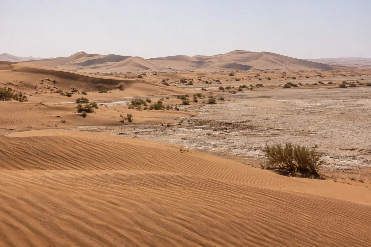
The eastern approach from M’Hamid, where the Drâa valley road ends, and a natural start for camel treks.
Why the road to Erg Chigaga ends in a 4x4, what a private off-road trip with a local driver involves, and the extras you can ask us to add.
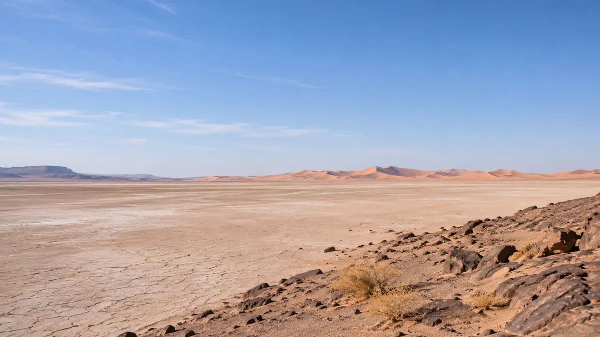
A huge, usually dry lake bed in Iriki National Park, crossed by 4×4 on the way to the dunes.
Where the dunes are, how long to stay, and the practical details worth sorting before you go.
Send your dates and group size. We reply with a written itinerary and price — no payment needed to ask.