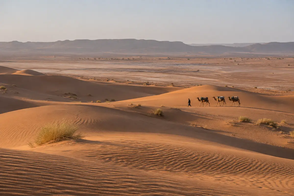
Erg Chigaga from Zagora
Already in Zagora? Follow the Drâa south to M’Hamid and leave the tarmac there, by 4×4 or on foot with camels.
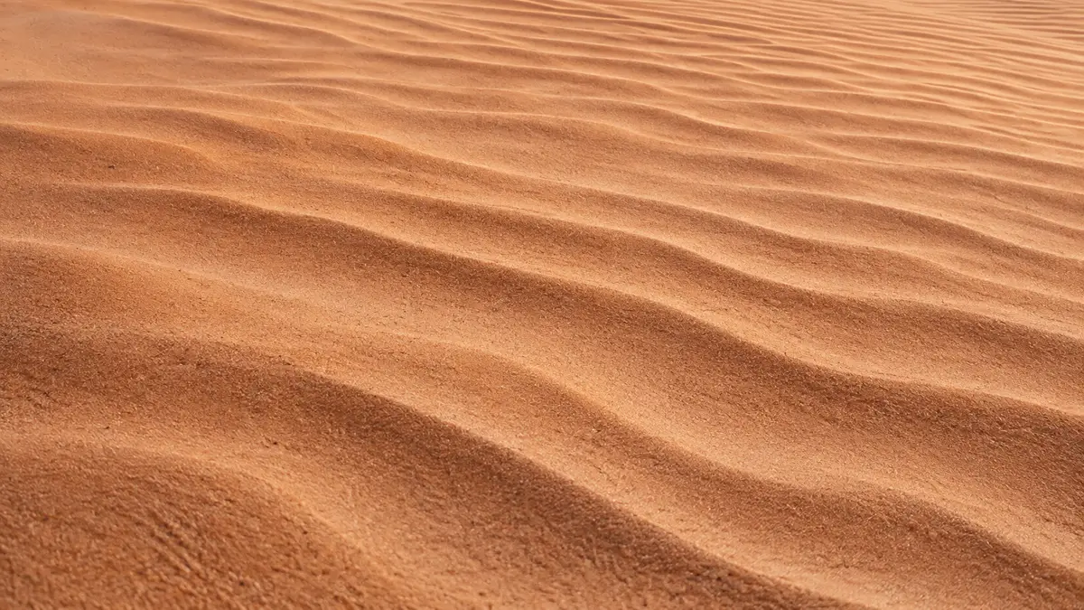
The Drâa valley runs south-east from the mountains near Ouarzazate towards the Sahara, a long green ribbon of palm groves, earthen villages and kasbahs between dry hills. For travellers heading to Erg Chigaga from the east, it is the road in, and it is well worth taking slowly.
The Drâa valley lies in southern Morocco, on the far side of the High Atlas from Marrakech. The river is formed in the mountains near Ouarzazate and flows south-east through a long, narrow valley before reaching the edge of the Sahara near M’Hamid El Ghizlane. From there its dry bed curves away west towards the Atlantic, but the stretch most travellers know is the green part, between Agdz and M’Hamid.
The Drâa is commonly described as Morocco’s longest river, although for much of its length it carries little or no surface water. What it does carry feeds one of the country’s great chains of oases.
Driving south, the landscape follows a simple pattern: bare, rocky hills on either side and, between them, a dense strip of date palms, gardens and fields watered by the river and by channels that carry its water to every plot.
Along the edge of the palm groves stand earthen villages, often called ksour, and fortified family houses known as kasbahs. Some are still lived in; others are slowly returning to the earth they were built from. Their colour shifts with the light, from pale ochre at midday to deep red in the evening.
The valley is a working landscape. You will see people tending gardens, children walking to school and donkeys carrying fodder. It deserves the same respect as any village: ask before photographing people, and dress modestly.
We do not list fixed opening hours, fees or driving times here, because they change. If you would like help planning stops for your dates, ask us.
The valley is the eastern approach to Erg Chigaga. At M’Hamid the tarmac stops, and the route continues off-road through sandy stretches, scrub and smaller dunes before the main dune field appears. That part needs a 4×4 with an experienced driver, or a camel-supported trek.
Near M’Hamid there are also smaller dune areas such as Erg Lihoudi, which are quicker to reach. They make a good short introduction, but they are not the large erg. Our camel trekking page explains how walking trips from this side work, and the Erg Chigaga destination guide describes the dunes themselves.
The palm groves look their greenest when water has been plentiful, and the date harvest takes place in autumn. Our weather guide covers the desert seasons in more detail.
The Drâa valley works well as the first part of a desert journey: over the High Atlas to Ouarzazate, down the valley to Zagora or M’Hamid, then into the desert. If you would like a trip to Erg Chigaga that starts on this side, tell us your dates and where you are coming from, and we reply with a written proposal. You can also contact us with questions about the route.
Already in Zagora? Follow the Drâa south to M’Hamid and leave the tarmac there, by 4×4 or on foot with camels.
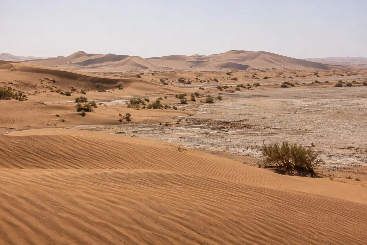
The eastern approach from M’Hamid, where the Drâa valley road ends, and a natural start for camel treks.
What camel trekking at Erg Chigaga is really like, from walking pace and riding sections to mobile bivouacs, drinking water, camel welfare and leave-no-trace.
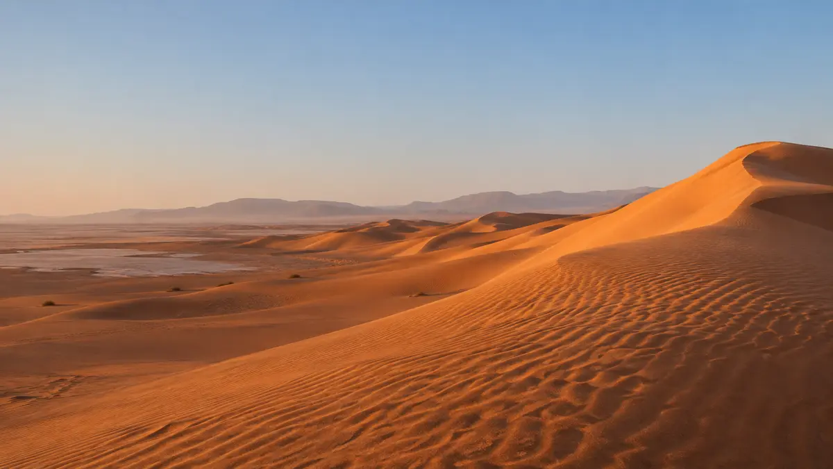
The remote dune field near the Algerian border, reached only off-road from Foum Zguid or M’Hamid.
Send your dates and group size. We reply with a written itinerary and price — no payment needed to ask.